


MBARI Collaborates with 3D at Depth
Partnership News / 20/06/2023
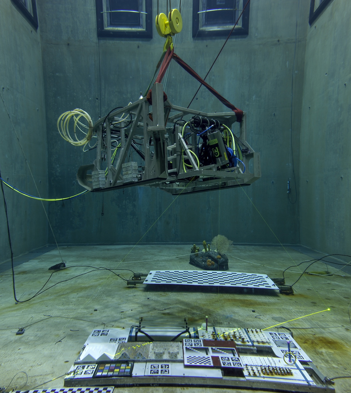
MBARI Collaborates with 3D at Depth on a New Detailed Design of the Next Generation Subsea Lidar Customized for Scientific Research.
READ MORE
Technip and 3D at Depth Form Alliance to Expand and Commercialize LiDAR Technology in Gulf of Mexico
Partnership News / 14/10/2015
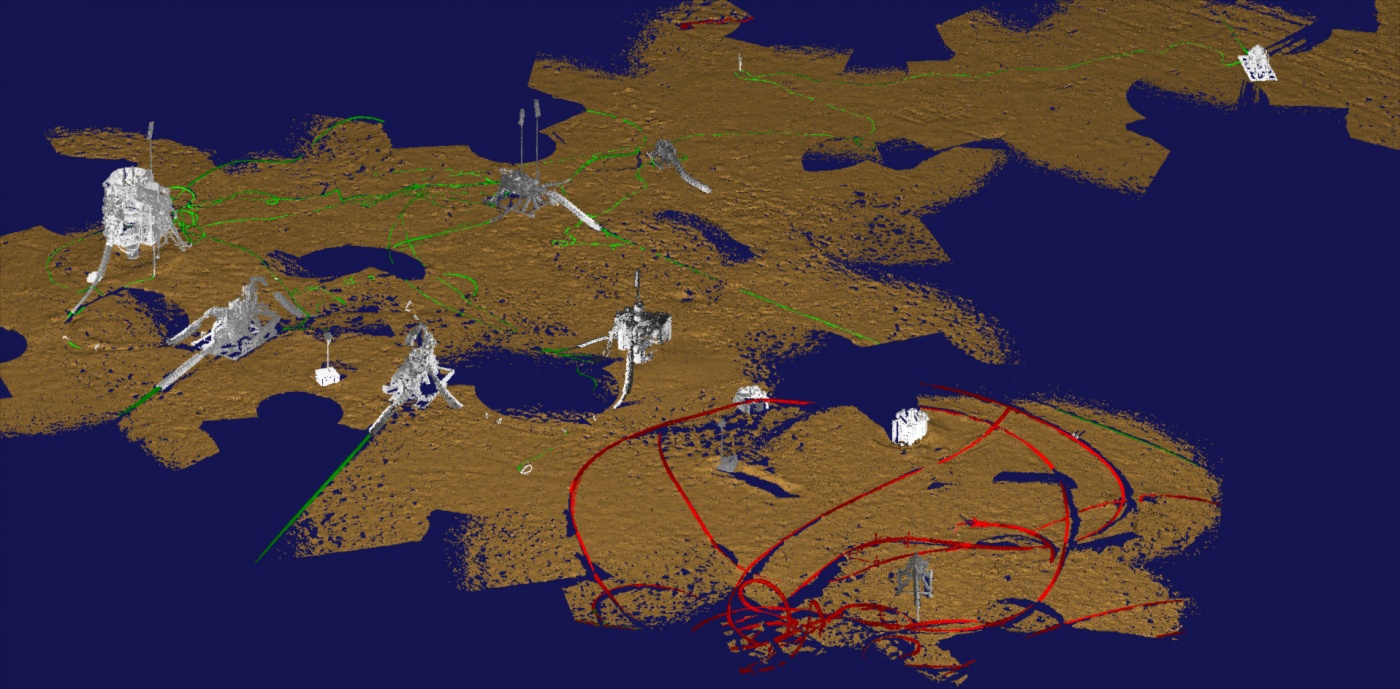
Boulder, Co. — October 14, 2015 — 3D at Depth, a global technology provider of advanced subsea LiDAR systems and solutions, and Technip USA, Inc., an affiliate of Technip SA of France, announced today that they have signed a joint development agreement (JDA) to expand and commercialize the LiDAR technology for subsea metrology, field survey and IRM applications. Commonly referred to as laser scanning, LiDAR (Light Detection and Ranging) is a technology for collecting precise 3D models of subsea structures and seabed topography. It addresses the challenges of subsea data collection and imaging in deep waters for metrology survey programs and as-built field configurations.
READ MORE